Tanrego Castle
July 10, 2025 2025-07-10 3:12Tanrego Castle
Tanrego Castle
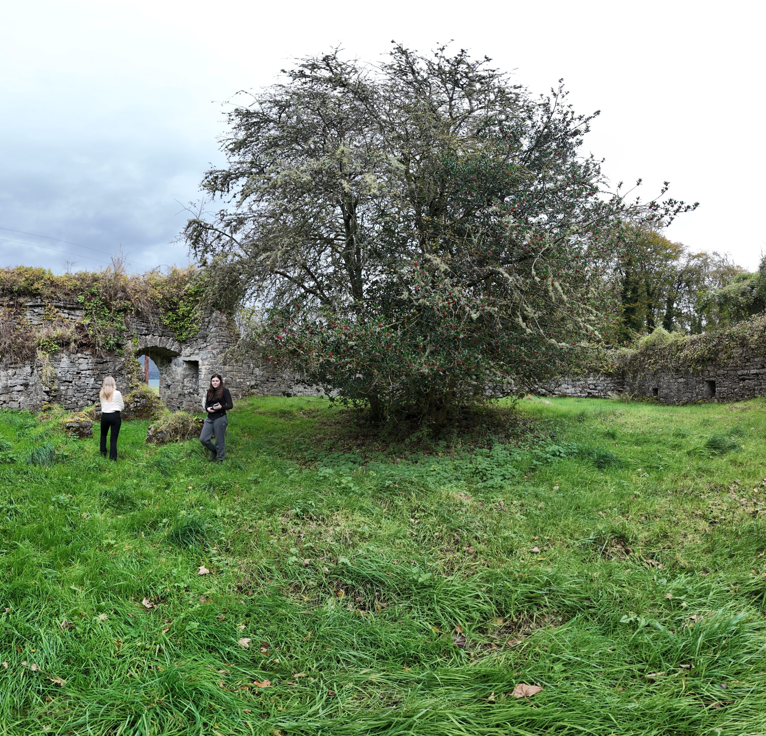
Tanrego Castle, nestled in County Sligo, stands as a formidable fortified bawn, rich with centuries of history. This overview delves into the castle’s distinct construction phases, its significant role in medieval and post-medieval settlement, and its architectural place within the broader Irish landscape.
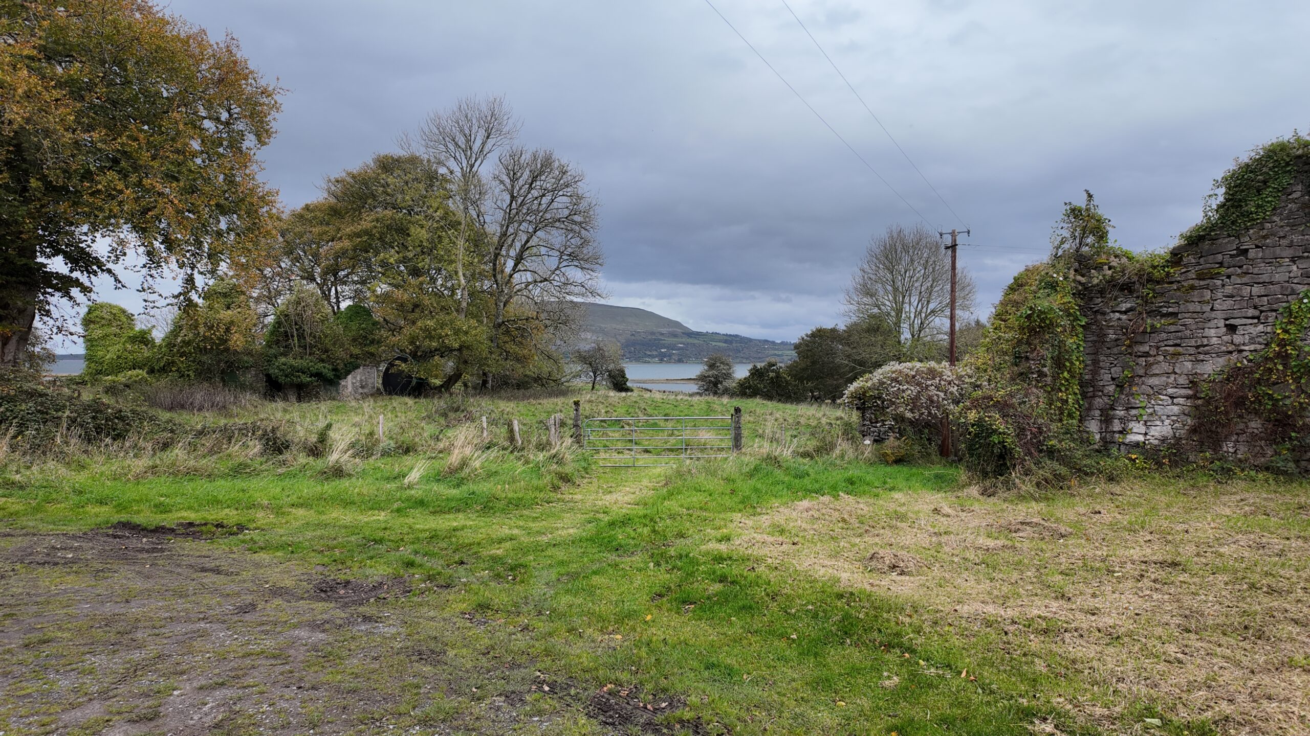
The site itself is gracefully situated on gently undulating land, overlooking the southern shore of Ballysadare Bay. The enduring masonry of the structure reveals at least two separate building periods, testament to a complex evolution over time.
The History of Tanrego Castle
Echoes of Medieval Settlement and Shifting Land Ownership
Tanrego’s story begins at the eastern extremity of the barony of Tireragh, a region that was once part of the powerful Ó Dubhda lordship of Tír Fhiachrach during the medieval era. This expansive territory, stretching westwards from Tanrego across the River Moy into north Mayo, encompassed lands that would later be known as the baronies of Erris, Tirawley, Carra in Mayo, and Tireragh in Sligo. The landscape of Tireragh witnessed a significant shift in power during the mid-1200s when it was occupied by the Anglo-Norman de Berminghams. However, their dominion was not to last, as the lands were fiercely reclaimed by Domhnall Cléireach Ó Dubhda in 1371, marking a return to native Irish control.
While direct historical accounts of Tanrego from medieval sources are rare, glimpses into its past emerge through Elizabethan fiants – official grants and pardons. In 1584, Tanrego was notably re-granted to Donald, O’Connor Sligo, as part of a ‘surrender and re-grant’ process, a common practice during the period aimed at consolidating English control. Intriguingly, a castle or a similar defensive structure is clearly depicted at Tanrego on Browne’s map of Sligo from 1589, hinting at its early importance. Further pardons issued in 1593 and 1597 mention individuals associated with the area, including Teige Boy O Duoda, Manus O Nary, and Brian McCarr, suggesting that at least four Gaelic families had already established themselves in Tanrego at that time.
By the mid-1630s, Tanrego had come under the possession of the Mac Swyneys. Contemporary descriptions of their holdings speak of “good arable lands” and crucially, a “good castle uppon Carromorre,” underscoring the site’s continued strategic and economic value. The mid-17th century saw further shifts in ownership. George Dodwell of Tanrego is recorded in the Hearth Money Rolls of Sligo from 1665, indicating his payment of tax on three hearths in his house, a sign of a substantial dwelling. Just five years later, in 1670, the castle, town, and lands of Tonregoe were officially granted to John Vaughan under the Patent Rolls of Charles II. Despite this change in formal ownership, the Dodwells remarkably remained in residence at Tanrego for another century, highlighting a complex interplay of legal title and actual occupation.
The historical narrative continues into the 19th century. Following the death of Edward Dodwell, a renowned traveller and archaeologist, in 1832, a significant portion of the estate passed to his sister and her husband, Sir Alexander and Lady Frances Crichton (née Dodwell). They subsequently leased the townland of Tanrego West to Col. Irwin of Tanrego House. Adding to the historical tapestry, the Ordnance Survey Name Books from this period make a specific mention of an ‘old castle close to Col. Irwin’s residence,’ further solidifying the continuous presence and recognition of Tanrego Castle through the ages. The various historical maps, including the mid-seventeenth-century Down Survey maps of the barony of Tireragh and the parish of Dromard, and Taylor and Skinner’s map of the Beliza area from 1777, consistently place Tanrego Castle in close proximity to the Carrowmore boundary, sometimes just outside it, reflecting the dynamic nature of townland boundaries over time.
Architectural Features
The First Phase of the Bawn
The earliest phase of the bawn at Tanrego measured approximately 16.45m long (east-west) by 14.22m wide internally, enclosed by a stone wall roughly 0.8m thick. The exact internal shape is difficult to ascertain fully as the western wall no longer stands above ground level. The northern and southern walls are notably not parallel, and the eastern wall meets the southern at an angle of 70 degrees, suggesting an original trapezoidal or quadrilateral plan.
Defining characteristics of this initial phase include a profusion of gun-loops embedded in the southern and eastern walls, and the presence of two circular gun turrets positioned at the north-eastern and south-western corners. These turrets were strategically designed to enable flanking gunfire, providing defense against anyone approaching the bawn’s exterior. While many of the gun-loops are now blocked, their original locations can still be discerned through careful examination of the masonry. The absence of gun-loops in the northern wall suggests it underwent rebuilding at some point. The turrets themselves are distinctive, featuring small corbelled roofs, which lend them the appearance of ‘pepper pot’ turrets. The south-western turret, originally at a corner of this first phase, now appears to project southwards, having been enveloped by the later second phase of construction.
The Second Phase of the Bawn
The second phase of the bawn represents a significant expansion, measuring approximately 22m (north-south) by 46m (east-west). This phase is characterized by a taller, thicker wall, reaching up to 5.3m in height and ranging from 1.0m to 1.3m in thickness. It incorporates nine gun-loops, similar in type to those of the first phase, with three large, surviving examples in the western, northern, and southern walls, and a particularly large corner loop at the south-western corner. Many of these gun-loops are blocked or damaged, though a well-preserved example in the western wall boasts a 43cm-wide horizontal mouth.
An original entry point into the second-phase bawn is found at the eastern end of the northern wall, featuring a gateway with a pointed arch and a wicker-centred rear arch. To the left of this gateway, a recess with a small gun-loop positioned over a waste chute is visible. A second gateway at the northern end of the western wall is present, but it is considered a later, early modern break-through rather than an original feature. The internal face of the northern wall also exhibits a long, mid-height recess marked by a series of drain-holes on the external façade. This could indicate the presence of a defensive wall-walk or a large building that once stood against the bawn wall, with its roof draining northwards through these elevated holes.
Later Works and Features
Over time, the bawn underwent a series of alterations and additions following both its initial construction phases. Several buildings, likely serving as residential or farm-related structures, were erected within the bawn’s interior by constructing new walls against the pre-existing bawn wall. These buildings most probably functioned as farm buildings or accommodation for workers during the eighteenth and nineteenth centuries, indicating the complex’s role as a working farmyard in the early modern period. Additional buildings were also constructed against the exterior of the bawn, notably on the western side.
Furthermore, a ruined rectangular house, measuring approximately 13.65m long (east-west) by 6m wide, lies about 40m north of the bawn. This structure, which may date to the seventeenth century, was not included in the detailed survey of the bawn itself, but it is believed to have served as the principal house in Tanrego West during the post-medieval period.
Dating and Architectural Context
Dating Tanrego Castle
Interpreting the surviving elements of Tanrego Castle presents certain challenges, particularly in definitively determining whether a tower house originally stood on the site. However, the first-phase bawn can be confidently dated to the late sixteenth or early seventeenth centuries. This dating is supported by the abundance of gun-loops and the presence of round corner turrets, features characteristic of fortifications from that period. The second phase of construction is more complex to date precisely, but the existence of wide-mouthed gun-loops and the wicker-centred rear arch in this part of the structure strongly suggest an early seventeenth-century origin.
It remains a possibility that the freestanding house located to the north of the bawn is contemporary with some part of the bawn, or that it replaced an earlier residence within the bawn’s confines. Historical maps, such as Browne’s map of Sligo from 1589 and the Down Survey from 1656, depict a castle or similar structure at Tanrego or Carrowmore. However, it is acknowledged that these historical sources may contain inaccuracies.
Architectural Context
Tanrego Castle’s design aligns well with other Irish bawns from the late medieval and post-medieval periods. Its sub-rectangular plan and the inclusion of round corner turrets are common features. While these turrets were designed to facilitate flanking fire along all four external façades, it is noteworthy that the eastern wall at Tanrego is not covered by the north-eastern turret. This suggests that while the builders of the first-phase bawn were familiar with contemporary fortification styles, they may not have fully grasped their intricate details. The corbelled roofs of the turrets at Tanrego are also unusual, as most bawns of this period featured timber-framed roofs set within a parapet wall.
Bawns featuring numerous gun-loops were a prominent characteristic of plantation architecture in Ulster and other regions in the early 1600s, including areas like Sligo, even where no formal plantation scheme was established. Tanrego and Moygara Castles serve as excellent examples within County Sligo. The existence of two-phase bawns is not uncommon in Ireland, with notable examples including Aughnanure in Co. Galway and Shanpallas in Co. Limerick. In such cases, a smaller, irregularly planned original bawn often encircled a tower house with limited space, to which a larger, more regular second-phase bawn was subsequently added. This pattern supports the idea that Tanrego’s first-phase bawn might have contained a tower house or a simple residential structure, though archaeological excavation would be required to definitively confirm this.
Conclusions
Tanrego Castle, located in Co. Sligo, is a fortified bawn believed to date from the late 1500s or early 1600s. It was constructed in two distinct phases, and the identity of its builders remains uncertain. Based on available evidence, it is probable that a castle or bawn existed at Tanrego during this period, potentially forming the core of the settlement, with the Dodwells family possibly involved in its construction or expansion.
The bawn may have initially been built to enclose a late-medieval tower house or to protect an undefended manor house. The first-phase bawn, though relatively small compared to other Irish examples, was robustly defended with numerous gun-loops and two round corner turrets, despite the unusual nature of its corbelled roofs.
While Tanrego Castle likely served as a high-status residence for a period, it may have been superseded by a seventeenth-century house located a short distance to the north. At this point, the bawn’s significance likely diminished, and it probably functioned as a farmyard throughout the 1700s and 1800s. The site holds considerable archaeological potential, with late medieval strata likely to be preserved in situ in certain areas, although the introduction of early modern farm buildings within the interior may have negatively impacted these features.
Exploring Tanrego Castle Today
While not open to the public in the same way as a managed heritage site, Tanrego Castle offers a fascinating glimpse into Ireland’s past for those interested in historical architecture and archaeology. Its location near Ballysadare Bay provides a scenic backdrop for understanding its historical significance.
Location: Tanrego West, near Ballysadare Bay, County Sligo.
Access: As a privately owned archaeological site, access is restricted and requires permission. Please respect private property and local guidelines: you will be trespassing if you go without contacting the clan first (the current owners are very pleasant, however!).
Best Time to Appreciate: Daylight hours, allowing for clear observation of the architectural features.
Credits
This content is based on the “Tanrego Castle, County Sligo – Archaeological Appraisal” prepared by:
Rory Sherlock MA PhD MIAI, Consultant Archaeologist
Paul Naessens PhD, Consultant Archaeologist
Date of Publication: October 2016
Tanrego Castle
Caisleán an tSeanraigh (Tanrego Castle)
54°13'47.6"N, 8°36'48.0"W
Tanrego West, near Ballysadare Bay
County Sligo, Ireland
Fortified Bawn (Two-phase construction)
Late medieval defensive enclosure with round corner turrets, later expanded in early modern period
c. late 1500s–early 1600s (likely Dodwell family)
First phase bawn constructed late 16th century; second phase early 17th century
Not destroyed – exists as partially standing ruins
Gradual deterioration and repurposing as farmyard in 18th–19th centuries
Current status: archaeological site with substantial standing remains
As a privately owned archaeological site, access is restricted and requires permission. Please respect private property and local guidelines: you will be trespassing if you go without contacting the clan first (the current owners are very pleasant, however!)
Tanrego lies at the eastern edge of the Ó Dubhda kingdom of Tír Fhiachrach
Reclaimed from Anglo-Norman control by Domhnall Cléireach Ó Dubhda in 1371
Gaelic families including the O Duoda were present by the late 1500s
Reflects the clan’s strategic hold on ancestral territory across north Sligo and Mayo
Tanrego Castle is a rare and complex two-phase bawn structure with architectural features from both the late medieval and post-medieval periods. It preserves vital evidence of Gaelic resilience, colonial shifts, and rural transformation, making it one of County Sligo’s most important privately owned heritage sites